")
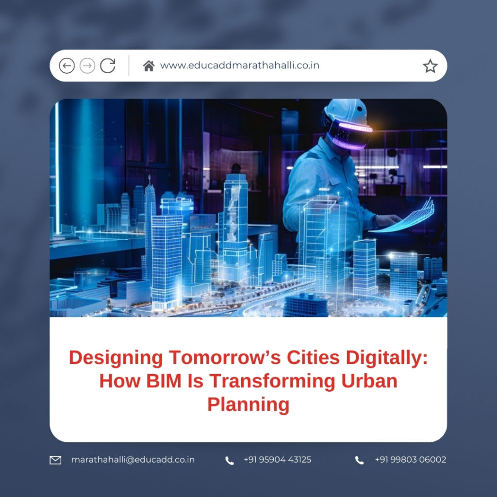
Designing Tomorrow’s Cities Digitally: How BIM Is Transforming Urban Planning
Cities no longer grow slowly. They expand rapidly, often faster than planning systems can manage. Rising populations, climate risks, mobility demands, and infrastructure stress force planners to rethink how cities are designed. Traditional planning tools struggle to keep pace with this complexity. Flat drawings and disconnected datasets limit foresight and coordination. BIM in Urban Planning introduces a powerful alternative. Building Information Modeling enables planners to create intelligent digital environments that reflect real urban conditions. These environments do not just show form. They capture data, relationships, performance metrics, and future behavior.
BIM in Urban Planning
With Urban Planning, cities gain the ability to test ideas before implementing them. Planners visualize growth, assess impact, and refine strategies digitally. This shift marks a turning point. Cities move from reactive development to proactive, informed planning.
1. Urban Planning with BIM: A New Paradigm for City Development
Urban planning has traditionally focused on zoning maps, land-use charts, and regulatory documents. While these tools remain important, they often operate in isolation. Urban Planning with BIM unifies planning elements into a single, intelligent framework.
BIM creates data-rich digital models that represent entire urban systems. Buildings, roads, utilities, and landscapes connect within one coordinated environment. Each element contains information about size, function, cost, and lifecycle.
Urban Planning also supports continuous planning. Cities evolve over decades, not years. BIM models update as conditions change. This adaptability improves long-term accuracy and relevance. Planning becomes a living process rather than a static plan.
2. Digital Coordination as the Foundation of Smart Cities
Smart cities depend on integration. Transportation, energy, water, and communication networks must function as one system. Urban Planning enables this integration from the earliest stages.
BIM models allow planners to align infrastructure layouts precisely. Roads coordinate with drainage systems. Utilities align with building foundations. This coordination reduces conflicts and improves efficiency.
Urban Planning with BIM also improves collaboration among stakeholders. Architects, engineers, planners, and authorities work within the same digital environment. Decisions become faster and more transparent. As a result, cities develop with clarity and confidence.
3. Sustainability Embedded into Urban Design Through BIM
Sustainable urban development requires early and informed decision-making. Urban Planning makes sustainability measurable and actionable. Instead of adding green features later, planners integrate them from the start.
BIM tools analyze environmental factors such as sunlight, wind flow, and heat distribution. These insights guide building orientation and street layout. Consequently, cities reduce energy demand naturally.
Urban Planning with BIM also supports responsible resource management. Water systems, green spaces, and waste networks can be simulated digitally. Planners identify risks and optimize solutions early. Sustainability becomes a core planning principle rather than an afterthought.
4. Managing Infrastructure Complexity and Reducing Urban Risk
Urban infrastructure projects involve high investment and long timelines. Poor coordination often leads to delays and budget overruns. Urban Planning with BIM reduces these risks significantly.
BIM detects design conflicts before construction begins. Utility clashes, alignment errors, and spatial conflicts appear early. This prevents costly rework on-site.
Urban Planning also enhances cost control. Accurate quantity data supports realistic budgeting. Planners can compare alternatives and choose cost-effective solutions. Risk management improves through simulation and scenario testing.
5. Designing Cities Around People and Daily Life
A city’s success depends on how people experience it. Urban Planning with BIM supports human-centered design by improving visibility and analysis. Planners can evaluate accessibility, walkability, and public space usage digitally.
BIM models allow planners to simulate pedestrian movement and traffic flow. These insights improve safety and comfort. Urban spaces become more intuitive and inclusive.
Urban Planning with BIM also enhances public engagement. Visual models help citizens understand proposals clearly. Feedback becomes more meaningful. Trust grows between planners and communities.
6. Integrating BIM with GIS, AI, and Real-Time Urban Data
Urban Planning becomes even more effective when combined with advanced technologies. GIS adds geographic intelligence. AI introduces predictive capabilities.
Through BIM and GIS integration, planners gain accurate spatial context. Land use, zoning, and environmental constraints align seamlessly. AI tools analyze trends and forecast future demands.
Urban Planning also supports digital twins. These virtual city models reflect real-time conditions. Planners monitor performance and test scenarios continuously. Cities transition from static planning to adaptive management.
7. Challenges in Adoption and Strategies for Scalable Implementation
Despite its advantages, Urban Planning requires strategic adoption. Data standardization remains a common challenge. Clear frameworks ensure consistency across projects and stakeholders.
Skill development is equally important. Cities must invest in training and capacity building. Collaborative workflows require both technical expertise and organizational alignment.
However, these challenges diminish with experience. Strong leadership and clear goals drive success. Urban Planning with BIM delivers long-term value that far exceeds initial effort.
Conclusion
Cities face unprecedented challenges. Population growth, climate change, and infrastructure demands require smarter solutions. Traditional planning tools alone cannot meet these needs. BIM in Urban Planning provides a powerful path forward.
By combining data, visualization, and collaboration, BIM transforms urban planning into an intelligent process. It improves sustainability, efficiency, and quality of life. Most importantly, it allows cities to plan with foresight and resilience.
As urban development accelerates, cities that adopt Urban Planning with BIM will lead the transformation. They will build environments that are adaptive, inclusive, and sustainable. The future of cities begins with a digital blueprint shaped by BIM.

