")
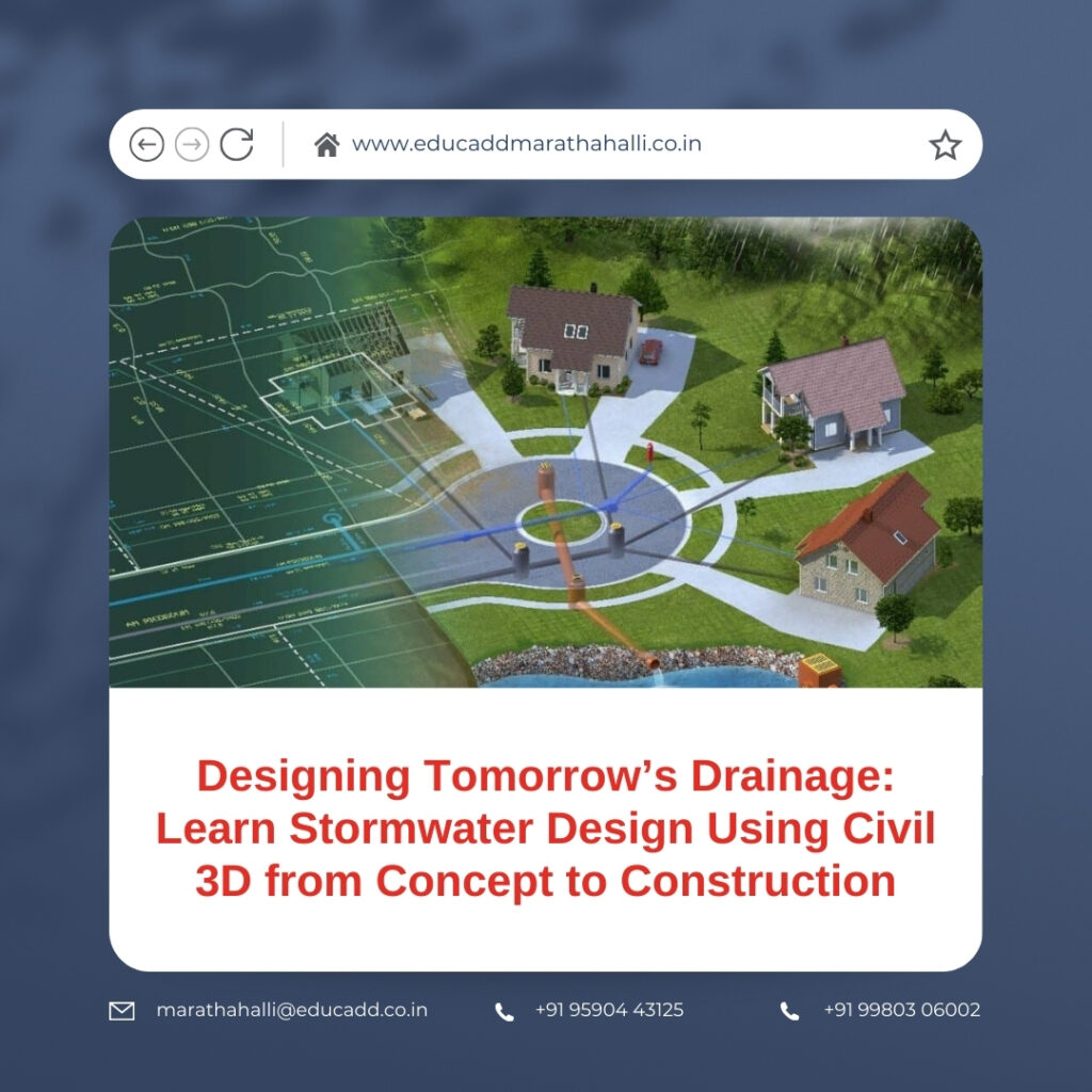
Designing Tomorrow’s Drainage: Learn Stormwater Design Using Civil 3D from Concept to Construction
Modern cities face increasing pressure from rapid development, shrinking open land, and unpredictable rainfall patterns. As surfaces become more impervious, managing stormwater effectively has turned into a critical engineering challenge rather than a routine task. Flooded roads, waterlogged developments, and overwhelmed drainage networks highlight the need for smarter design approaches. In this scenario, professionals who Stormwater Design Civil 3D gain the ability to respond to real-world challenges with accuracy and confidence.
Stormwater Design Civil 3D
Autodesk Civil 3D provides an intelligent, model-based environment that connects terrain data, drainage networks, and design documentation into a single workflow. This blog presents a completely fresh, in-depth perspective on stormwater design with Civil 3D, explaining its fundamentals, practical workflows, advanced capabilities, and long-term career value.
1. The Role of Stormwater Design in Modern Civil Engineering
Stormwater design focuses on managing excess rainwater generated from developed land. When natural ground is replaced by roads, buildings, and pavements, water can no longer infiltrate the soil effectively. Instead, it flows rapidly across surfaces, increasing the risk of flooding, erosion, and pollution. Engineers design stormwater systems to collect this runoff and guide it safely through pipes, channels, and storage structures.
To Stormwater Design Civil 3D, engineers must first understand why stormwater systems matter. They protect public safety, preserve infrastructure, and safeguard the environment. Poorly designed systems can lead to property damage, traffic disruption, and contamination of natural water bodies. Therefore, stormwater design combines technical accuracy with social responsibility.
At its core, stormwater engineering relies on hydrologic principles. Rainfall intensity, catchment area, runoff coefficients, and time of concentration determine how much water enters a system. These values influence pipe sizes, slopes, and storage requirements. While these calculations form the backbone of design, the real challenge lies in applying them to complex sites that change throughout the project lifecycle.
Civil 3D addresses this challenge through dynamic modeling. Instead of static drawings, engineers work with data-driven objects that respond to design changes instantly. This approach reduces errors and allows engineers to test design options efficiently. As projects grow in scale and complexity, this adaptability becomes essential rather than optional.
2. Why Civil 3D Transforms Stormwater Design Workflows
Civil 3D has redefined how engineers approach infrastructure projects. Those who learn stormwater design using Civil 3D quickly recognize its advantage over traditional drafting tools. The software integrates surfaces, alignments, profiles, and pipe networks into one coordinated model. This integration ensures consistency across all design elements.
One of the most powerful features of Civil 3D is object-based design. Pipes, manholes, and inlets are not simple linework. They contain engineering data such as diameter, material, slope, and invert elevations. When an engineer modifies a surface or alignment, the connected stormwater network adjusts automatically. This intelligence eliminates repetitive revisions and improves design reliability.
Surface modeling plays a central role in stormwater planning. Runoff behavior depends entirely on slope and elevation. Civil 3D allows engineers to create existing ground surfaces from survey data and proposed surfaces from design inputs. Analysis tools then help visualize flow paths and low points. This visualization supports informed decisions about inlet placement and drainage direction.
Another advantage lies in standardization. Municipal and regional authorities impose strict stormwater guidelines. Civil 3D enables engineers to create templates that reflect these standards. Pipe rules, structure libraries, and labeling styles ensure every project meets regulatory requirements. This consistency reduces approval delays and improves professional credibility.
3. Practical Stormwater Network Design Using Civil 3D
When engineers Stormwater Design Civil 3D, they follow a logical, step-by-step process that mirrors real-world practice. The workflow begins with accurate data input. Survey points, contours, and breaklines define the existing terrain. Engineers then generate a surface model that forms the foundation of all drainage decisions.
The next step involves identifying drainage catchments. These areas determine how rainfall contributes to runoff at different locations. Civil 3D provides tools to analyze surfaces and define watershed boundaries. Engineers can confirm whether water flows toward the intended collection points. This step ensures that flow calculations reflect actual site conditions.
Once catchments are defined, designers begin laying out the stormwater network. Inlets and manholes are placed strategically along roads and low points. Pipes connect these structures using gravity flow principles. Civil 3D automatically assigns slopes based on predefined rules. Engineers can adjust parameters while maintaining compliance with design standards.
Profiles are then generated to review the vertical alignment of pipes. These profiles display cover depth, invert levels, and slopes clearly. Because they are linked to the model, any change updates instantly. This dynamic connection allows engineers to refine designs without redrawing. The result is a coordinated set of plans that accurately represent the final system.
4. Advanced Design Techniques for Sustainable Stormwater Solutions
As urban planning shifts toward sustainability, stormwater design has expanded beyond basic pipe networks. Engineers who learn stormwater design using Civil 3D increasingly work on systems that reduce runoff and protect natural ecosystems. These systems include swales, detention basins, and infiltration features.
Grading tools within Civil 3D help shape land to guide water naturally. Feature lines and grading objects maintain consistent slopes and smooth transitions. Engineers can design channels and embankments that control flow velocity and prevent erosion. These tools improve both performance and constructability.
Storage facilities play a crucial role in managing peak flows. Detention and retention ponds temporarily store runoff and release it at controlled rates. Civil 3D supports surface-based volume calculations, allowing engineers to estimate storage capacity accurately. Designers can compare alternatives quickly, which supports optimized and cost-effective solutions.
Transportation infrastructure also affects stormwater behavior. Road corridors collect and channel large volumes of water. Civil 3D corridor modeling integrates pavements, curbs, and sidewalks into a single system. Stormwater structures align precisely with roadway geometry. This coordination improves drainage efficiency and enhances road safety.
In addition, quantity takeoff tools extract material quantities directly from the model. Engineers can estimate excavation volumes, pipe lengths, and structure counts without manual measurement. This capability supports budgeting, scheduling, and construction planning.
5. Professional Value of Learning Stormwater Design Using Civil 3D
The engineering job market increasingly favors professionals with specialized digital skills. Those who learn stormwater design using Civil 3D stand out because they combine technical knowledge with modern workflows. Infrastructure projects demand efficiency, accuracy, and compliance, all of which Civil 3D supports.
For students and early-career engineers, Civil 3D proficiency shortens the learning curve. They can contribute meaningfully to projects from the start. Employers value this readiness, which often translates into better opportunities and faster career growth.
Experienced professionals also benefit. Civil 3D improves productivity and reduces rework. Engineers can manage complex projects with confidence, even when design changes occur late in the process. This adaptability strengthens professional reputation and client trust.
Freelancers and consultants gain additional advantages. Faster turnaround times and accurate deliverables allow them to handle multiple projects simultaneously. As demand for drainage expertise continues to rise, these skills support long-term professional stability.
Conclusion
Stormwater management has evolved into a defining discipline within civil engineering. It addresses safety, sustainability, and regulatory compliance in an increasingly urbanized world. When you Stormwater Design Civil 3D, you gain the ability to translate hydrologic principles into intelligent, adaptable designs. Civil 3D connects terrain, drainage networks, and documentation into a unified model, reducing errors and improving efficiency. Whether you are preparing for your first engineering role or advancing an established career, mastering stormwater design with Civil 3D equips you to shape resilient infrastructure and remain relevant in the future of civil engineering.

